Revolutionize Your Perspective
Advanced Aerial Imagery & Data Solutions
At Jazper Solutions, we don’t just fly drones—we craft visual narratives with precision, creativity, and technical excellence.
Our Vision & Mission
At Jazper Solutions, we are committed to transforming industries through innovative aerial drone imagery and data capture services. Founded on the belief that every story deserves to soar, we specialize in transforming raw aerial data into stunning, actionable visuals that propel businesses, properties, and projects forward. Whether you’re a construction leader tracking milestones, a marketer crafting unforgettable campaigns, or a property manager maintaining multiple structures, our custom imagery services deliver breathtaking clarity and precision from angles unseen. Our vision is to lead the way in technological advancements, providing clients with the tools they need to succeed in a rapidly evolving world.

Data Security & Compliance
Jazper Solutions | 2026 Operational Standards
Jazper Solutions is committed to providing industry-leading geospatial intelligence while maintaining strict adherence to federal and state security regulations, including the American Security Drone Act (ASDA) and Georgia SB 64. We recognize the importance of data sovereignty and national security in municipal and infrastructure projects.
Fleet Transition Strategy
Jazper Solutions is actively executing a phased transition to U.S. Made hardware. Our goal is a 100% domestically manufactured fleet by late 2027, ensuring our partners have uninterrupted service continuity well in advance of state and federal transition deadlines.
Service-Based Model
Jazper Solutions provides Data-as-a-Service (DaaS). By contracting with us, government entities avoid the legal complexities of hardware ownership and “Covered Foreign Entity” procurement restrictions.
Commitment to Our Clients & Georgia
We provide the technical expertise to keep your projects moving forward while the legal landscape shifts. With Jazper Solutions, you get the precision of the world’s best hardware with the security of a 100% American data workflow.
Regulatory Compliance (Georgia SB 64)
As of January 2026, Jazper Solutions operates in full alignment with Georgia’s evolving drone procurement and operation laws.
- Grandfathered Operations: Our current fleet of DJI Enterprise aircraft was legally acquired and registered prior to the state’s procurement cut-offs. Under SB 64, these assets remain authorized for state funding through January 1, 2028 and operational use through the January 1, 2029 sunset period.
- State Funding Prohibition: Starting January 1, 2028, no state funds can be used “in connection with” a small unmanned aircraft system (sUAS) manufactured or assembled by a covered foreign entity. The phrase “in connection with” is broad and typically covers service contracts where the primary tool used is the restricted hardware.
- Operational Ban: As of January 1, 2029, state agencies and local governments are prohibited from operating these drones entirely, even if they were purchased previously.
- Security Standards: Lawmakers have emphasized that drones used by government agencies must not be capable of transmitting data to unauthorized parties. Because DJI is classified as a company that must share data with the Chinese government under its national laws, it fails the “safe list” criteria regardless of the service model used.
Cybersecurity & Data Integrity
To eliminate the risk of unauthorized data transmission, Jazper Solutions implements a Local-First data workflow:
- Offline Flight Operations: All missions are conducted using Local Data Mode (LDM). This physically prevents the drone and controller from connecting to the remote foreign servers during flight, ensuring no flight logs, images, or telemetry are transmitted externally.
- U.S.-Based Processing: We do not use foreign cloud processing. All photogrammetry and thermal analysis are conducted via local, encrypted hardware or through secure processing services.
- U.S.-Based File Sharing: We do not use foreign cloud storage. All data/files are stored locally, on U.S.-based encrypted cloud storage or on enterprise storage providers.
- Encryption at Rest: All captured data is stored on AES-256 encrypted drives on Microsoft OneDrive or other enterprise file sharing providers.
- NTRIP Correction Security: Our high-precision Emlid Reach RS3 RTK system utilizes secure, encrypted correction streams, ensuring that your site’s geospatial coordinates are never exposed to public or unvetted networks.
Our Cutting-Edge Services
At the heart of Jazper Solutions is our commitment to custom aerial imagery—a collaborative process that begins with a free consultation. We dive deep into your goals, crafting tailored mission plans to capture the data you need and convert it into insights that matter. Imagine drone-captured timelapse sequences chronicling a skyscraper’s rise from foundation to finale, or vibrant aerial shots of a bustling retail storefront that highlight its allure in ways ground-level photos never could. Our expertise spans commercial, marketing, residential, and recreational applications, ensuring your visuals aren’t just images—they’re strategic assets.

Construction Timelapse Mapping
Monitor project progress with detailed construction timelapse mapping, providing comprehensive site overviews.
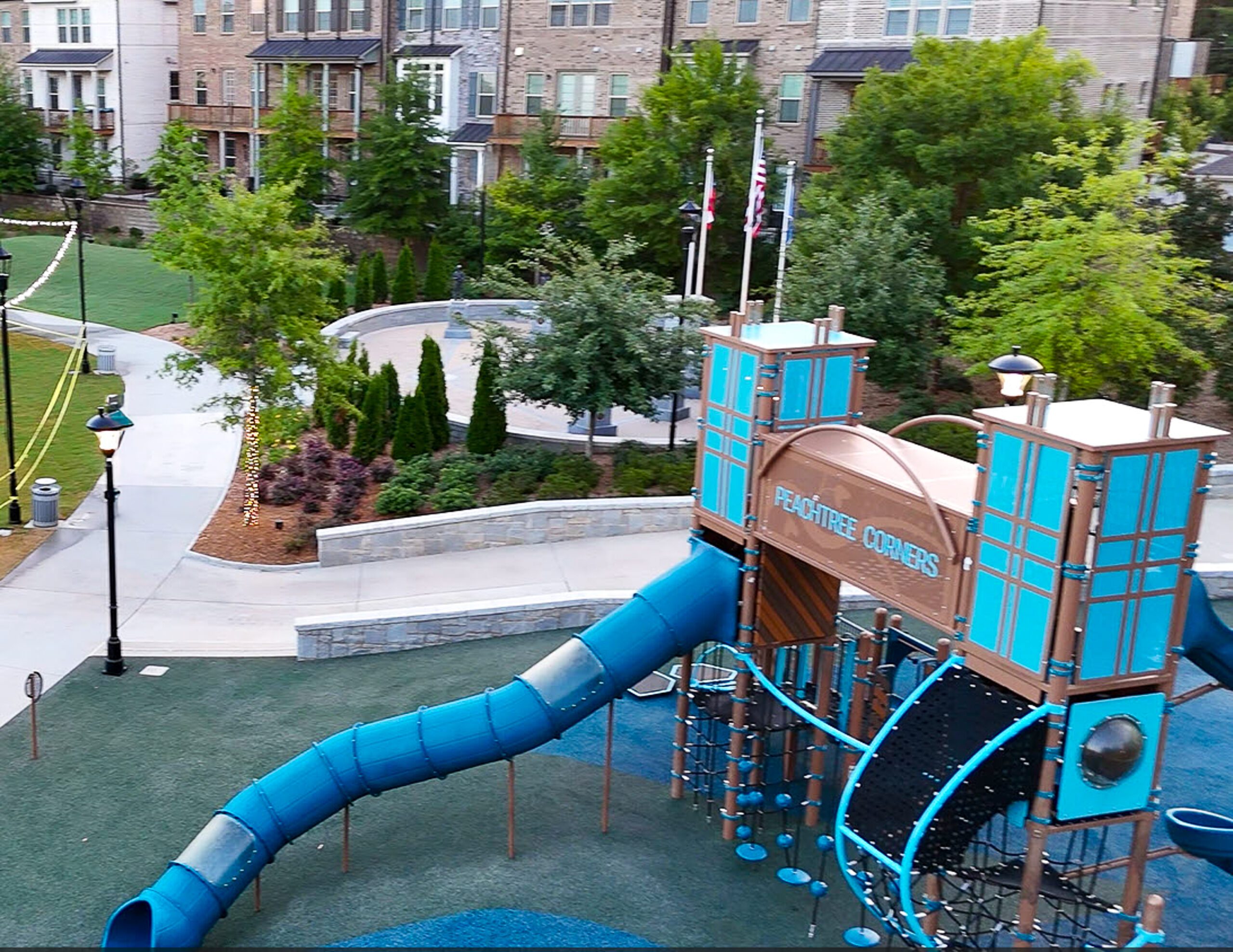
Visual Storytelling
Interactive 360-degree, aerial, timelapse, and progression imagery. Share on social media, embed in websites, or via QR codes on site signage.
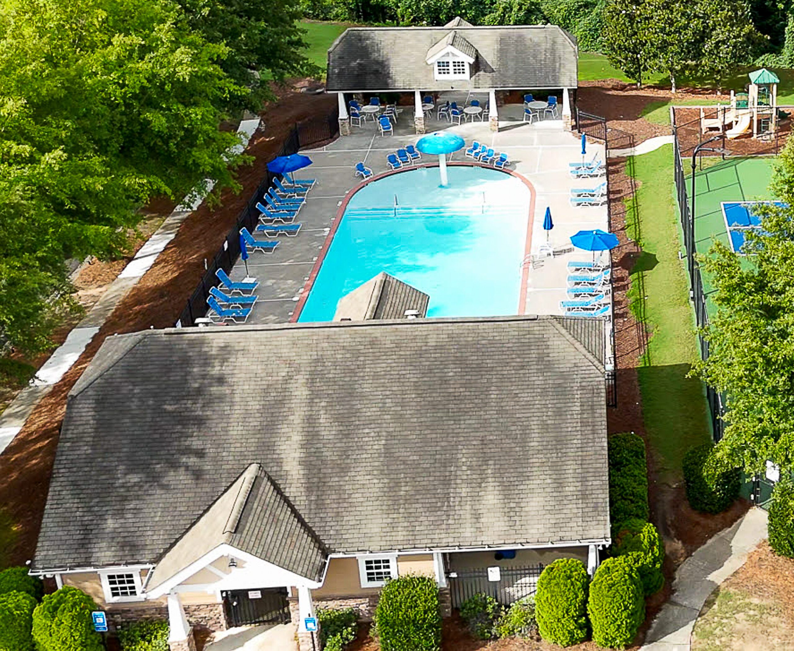
Property Management
Promote and preserve properties with visual data that can highlight the value, identify wear and tear, or potential failures in infrastructure.
Key Considerations
Non-Negotiable Legal Compliance
FAA Part 107 Certifications
A professional drone pilot must hold an active FAA Part 107 certification. This isn’t just a badge—it’s proof of rigorous training in airspace regulations, safety protocols, weather assessment, and operational limitations.
At Jazper Solutions, every pilot is fully Part 107 certified, ensuring your project complies with federal aviation laws. We operate legally, safely, and without risk to your timeline or reputation.
Protection You Can’t Afford to Skip
Full Insurance Coverage
Drone operations carry inherent risks—equipment failure, third-party property damage, or (rarely) injury. A reputable drone service must carry comprehensive liability insurance.
Jazper Solutions is fully insured, giving you peace of mind on every job. Whether we’re documenting a multi-phase construction site or capturing a 360° tour of a city park, your project—and your stakeholders—are protected.
Proof of Vision, Not Just Flight Skills
Editing Expertise
Anyone can launch a drone and press record. But can they deliver a polished, impactful final product?
This is where Jazper Solutions shines. Our in-house editing capabilities aren’t an afterthought—they’re central to our process. The fact that we expertly edit photos and videos means one thing: we capture imagery with intent.
Discover the Future of Aerial Imagery
Unlock the potential of your projects with Jazper Solutions’ cutting-edge drone technology. Whether it’s capturing stunning 360-degree visuals or conducting aerial data capture, our services are designed to elevate your vision. Contact us today to learn how we can transform your aerial needs into reality.